October 31, 2019
Retracing Lena Huppler Bevers’ Travel Log
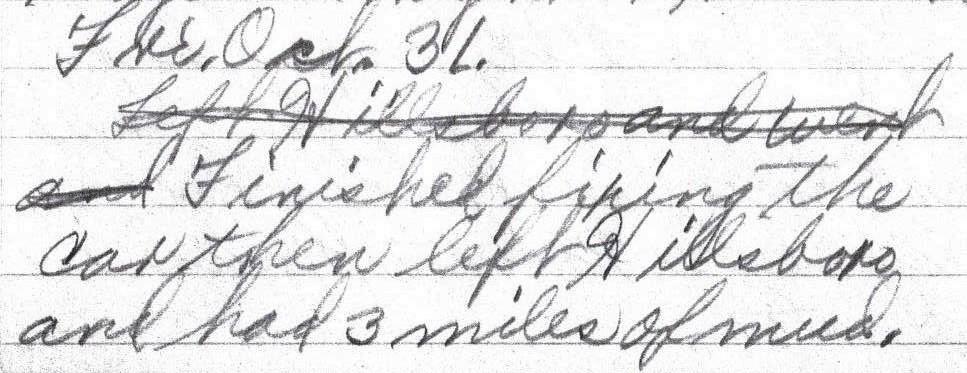
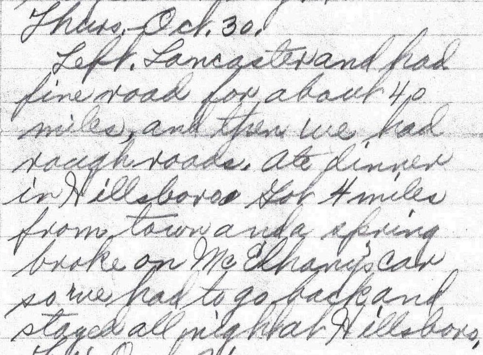
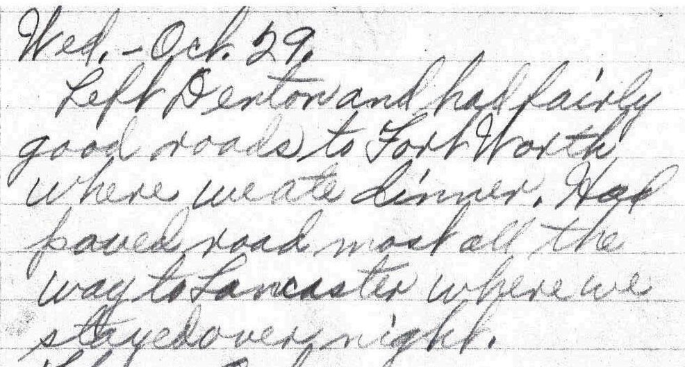
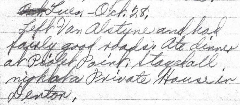
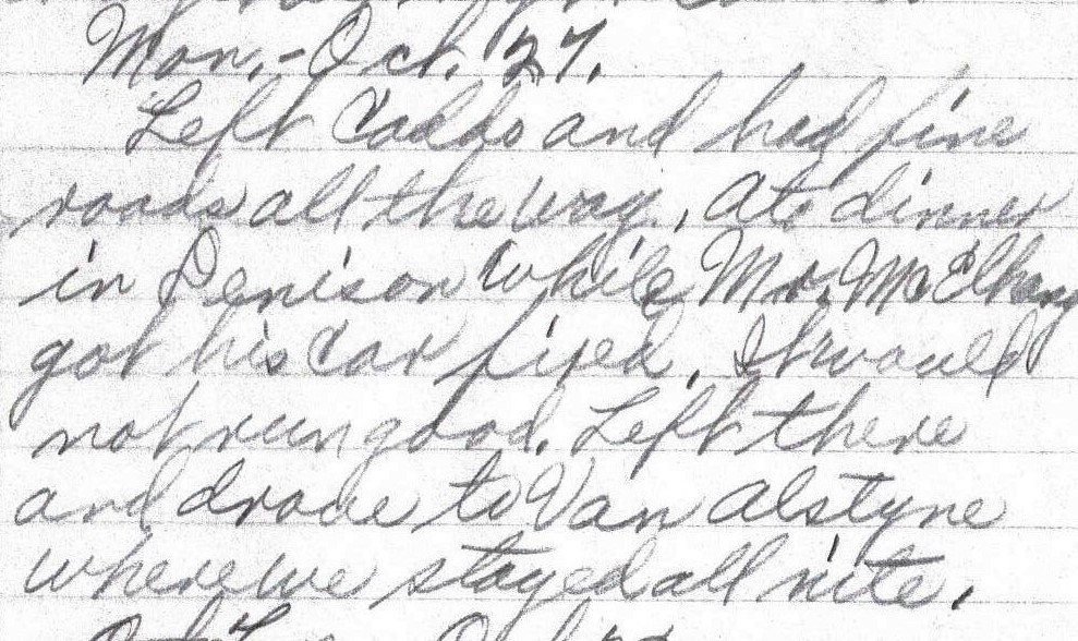
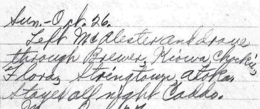
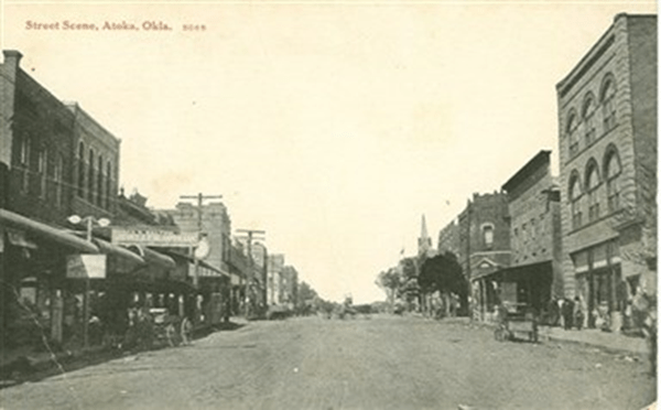
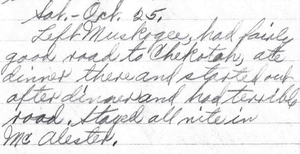
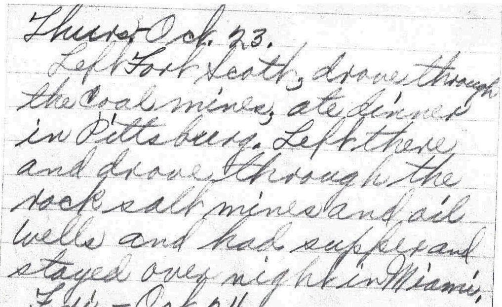
Fri. Oct. 31.
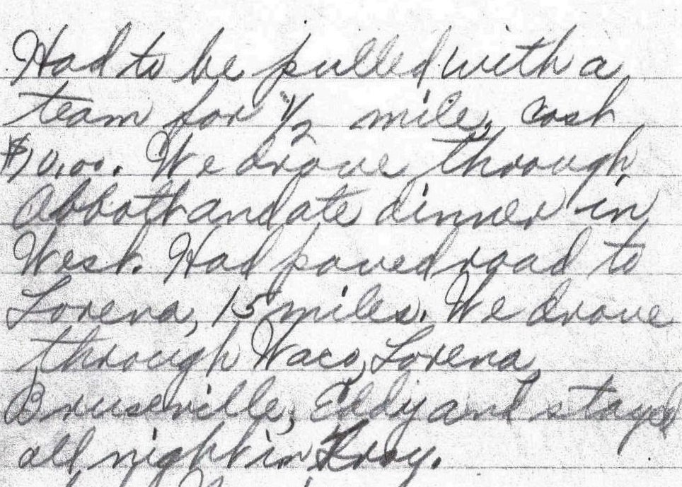
Finished fixing the car then left Hillsboro and had 3 miles of mud. Had to be pulled with a team for 1/2 mile, cash $10.00. We drove through Abbott and ate dinner in West. Had paved road to Lorena, 15 miles. We drove through Waco, Lorena, Bruseville, Eddy and stayed all night in Troy. – Lena Bevers
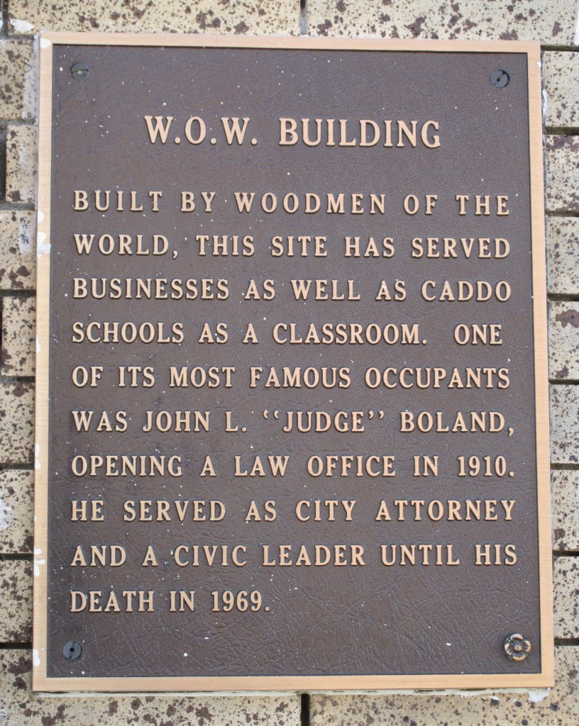
To start out the day of October 31, the repairs to Mr. McElhany’s car had to be completed. Florence Bevers wrote in her travel log: “Left Hillsboro and went out and finished Cornies car ….”1 Perhaps Mr. McElhany’s car had been left on the road the evening before, so in the morning they had to go back to where it was to finish working on it. Florence’s notation using the name “Cornie” is a clue to what Mr. McElhany’s first name was. Possibly it was a nickname for Cornelius or for Clarence (In The First 100 Years in Codington County, it states that a Clarence McElhany moved to Texas about the same time as the Bevers did.2)
When the car was fixed, Herbert and Mr. McElhany resumed driving, but their progress was impeded because the road was muddy for three miles. The Bevers’ car got stuck in the mud, so a team of horses was hired to pull the car for half a mile. It cost $10.00 cash to hire the team. One of Lena and Herbert’s grandsons states that he was told the following about this experience: “The car that got towed into town … by horses was the Model A. But it really wasn’t broke down after all. They thought it had a broken axle but it was in the mud up to the hubs and the wheel was spinning in the air. A costly mistake, $10 in those days would be like $150 now for the tow.”3
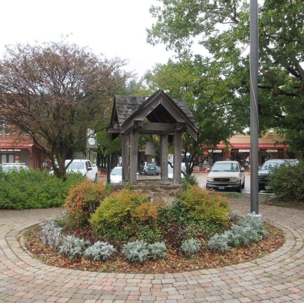
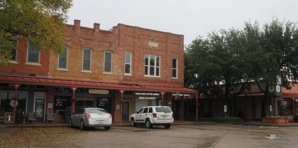
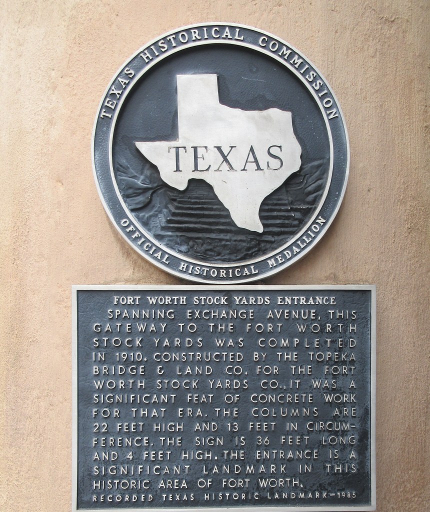
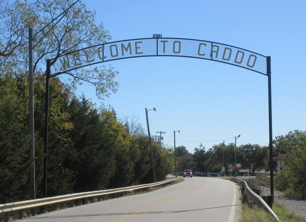
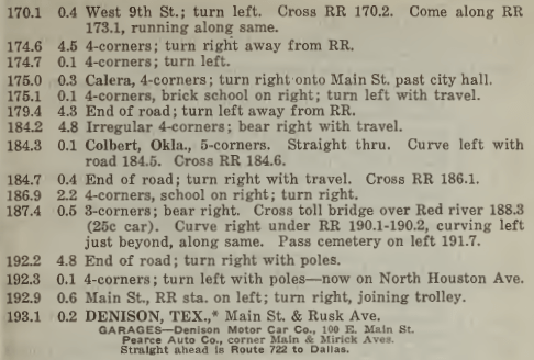
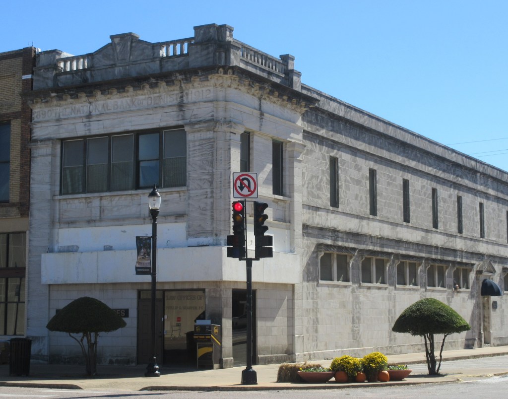
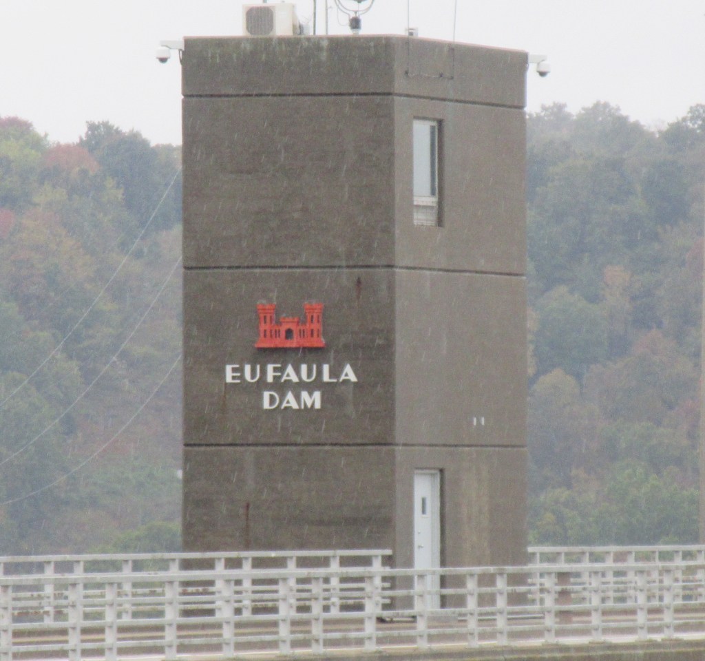
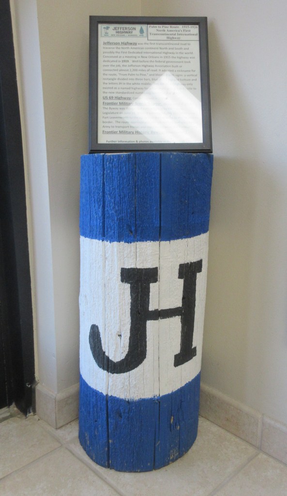
At Hillsboro, the Meridian Highway joined the King of Trails Highway. The Meridian Highway is the transcontinental highway on which the Bevers family had started their journey 19 days previously in Watertown, South Dakota. The name of the highway was “derived from the Sixth Principal Meridian, which extends north-south through the Great Plains region.”4 If the Bevers family had not gotten off the Meridian Highway in South Dakota, they would have traveled through Columbus (Nebraska), Wichita (Kansas), closely bypassed Oklahoma City (Oklahoma) and driven through Fort Worth (Texas). When they were in Fort Worth two days prior, they could have gotten on the Meridian Highway and driven to Hillsboro, instead of travelling to Lancaster and then to Hillsboro. Once again, it is not known why they didn’t take this route.
In Texas, “the main, or trunk, line [of Meridian Highway] extended north-south through the middle of the state and generally followed the path of the Chisholm Trail, famously used to run Texas cattle to the railheads in Kansas in the heyday of the Cattle Drive era after the Civil War.”5
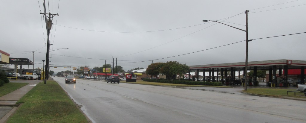
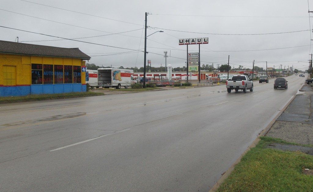
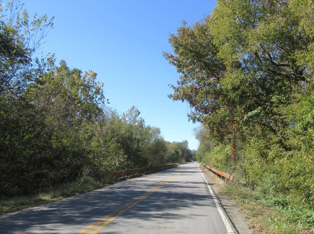
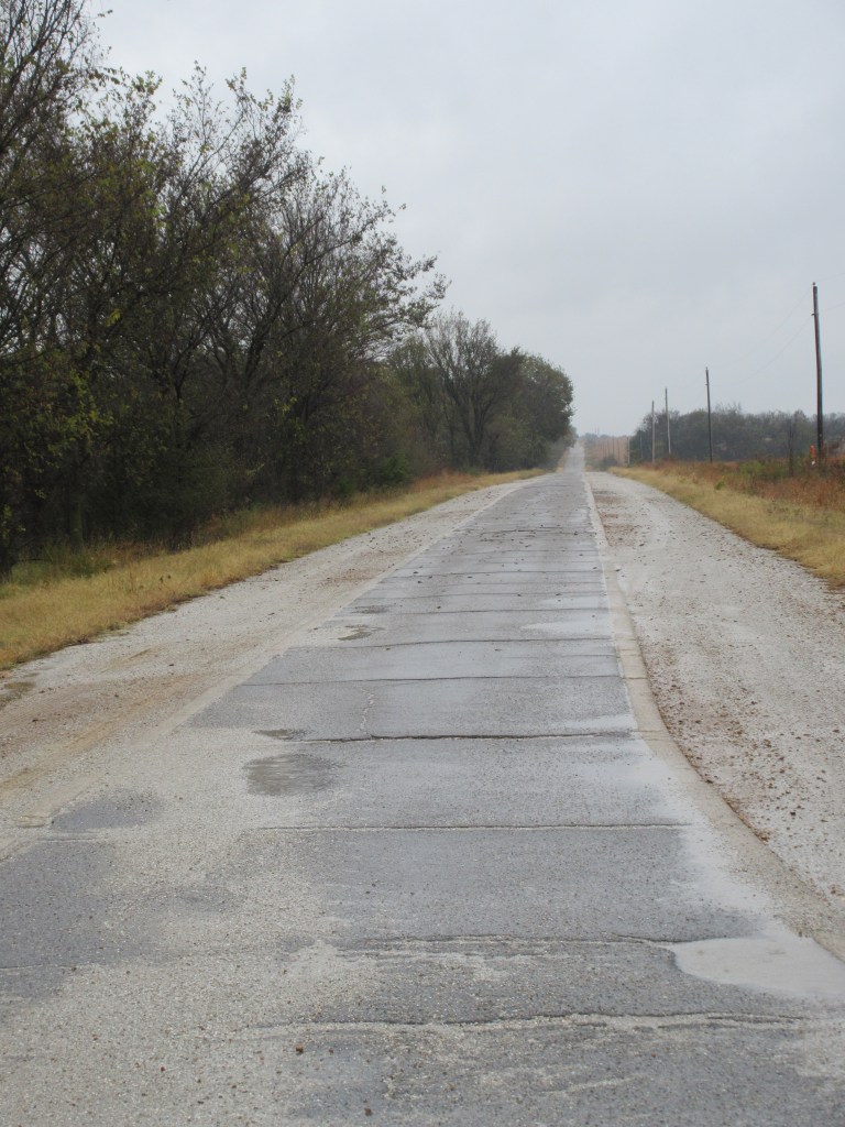
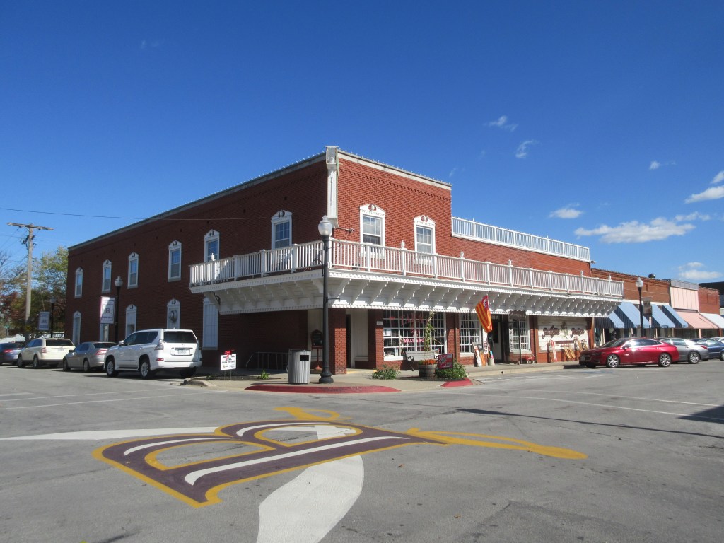
After their car was towed and the two cars reached a better road, they cars went through Abbott and then stopped in West where they ate dinner. My mother and I got on the road about 10:00 AM today, using the frontage road that runs alongside Interstate Highway 35. We passed through Abbott and West within the hour.
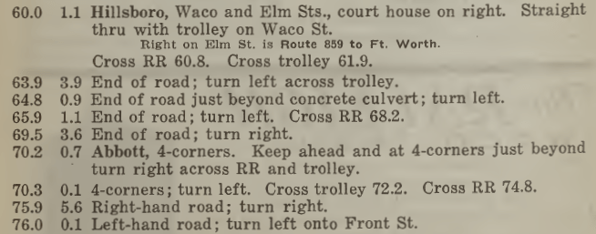
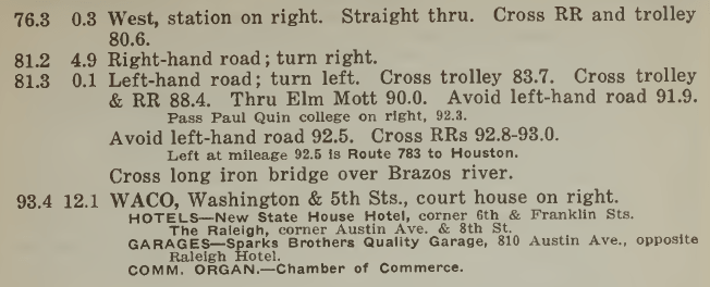
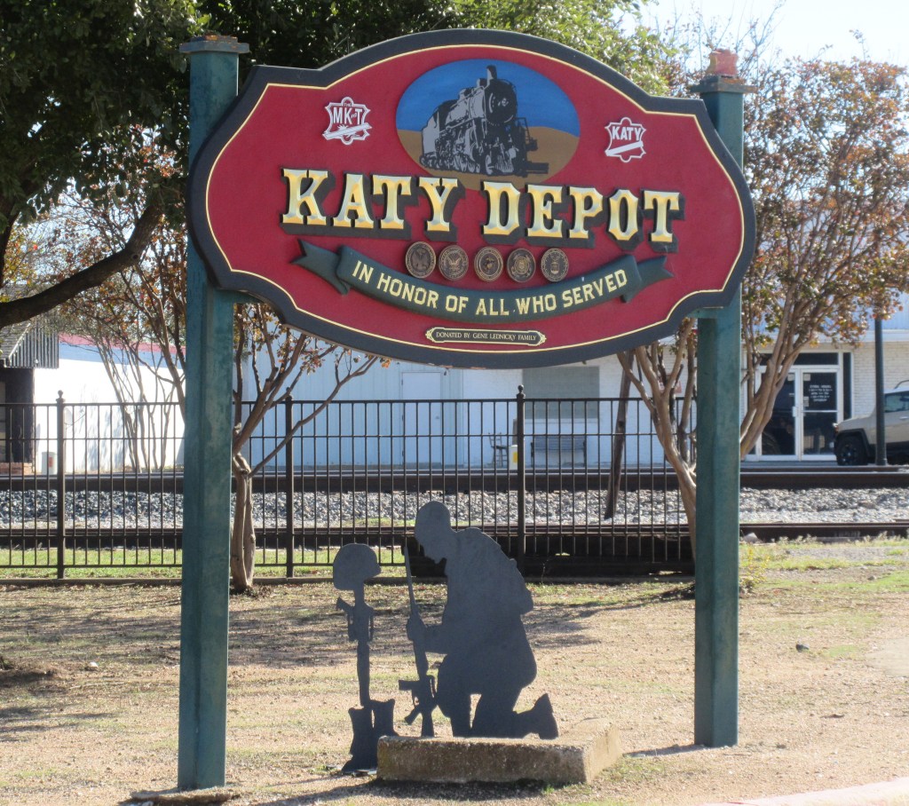
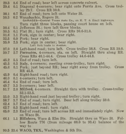
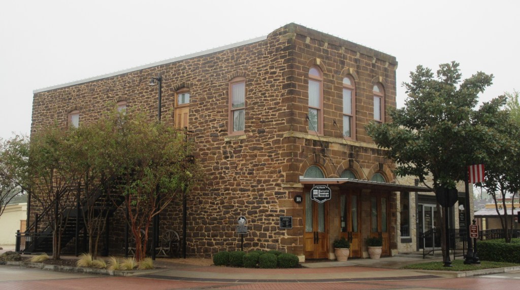
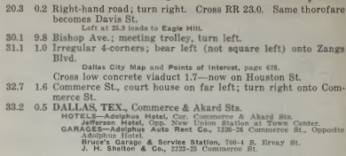
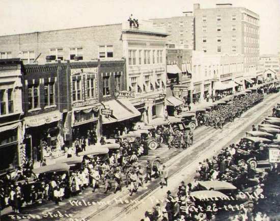
In the running directions above, at mile 76.3 the town of West is listed, indicating that the train station is on the right. When we drove around West, we found the station.

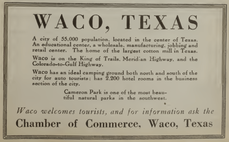
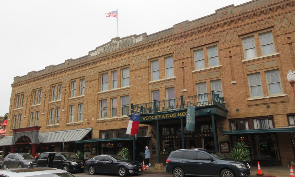
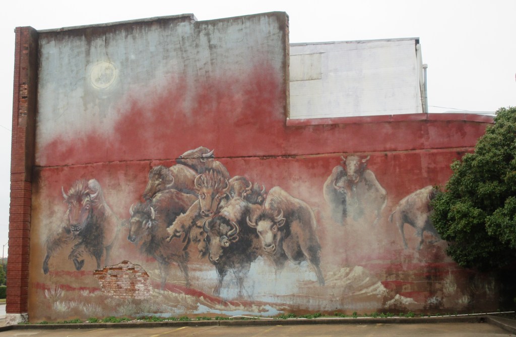
Next, the caravan arrived at Waco, a large commercial city of 55,000 people.
“One of the factors that made Waco so important stemmed from the two bridges that crossed the Brazos River. To augment the 1870 suspension bridge, Waco built a metal truss bridge over the waterway in 1904 a few blocks upriver. Its completion provided a secondary means for vehicular traffic to cross the river. The metal truss bridge linked Elm Street in what is known as East Waco to Washington Street in downtown Waco…. Its completion relieved burdens placed on the older suspension bridge….”7
Before crossing the river, the King of Trails Highway split off from the Meridian Highway, heading southeast to Houston and Galveston, Texas. The Bevers family continued southwest on the Meridian Highway, crossing either the steel bridge or the suspension bridge.
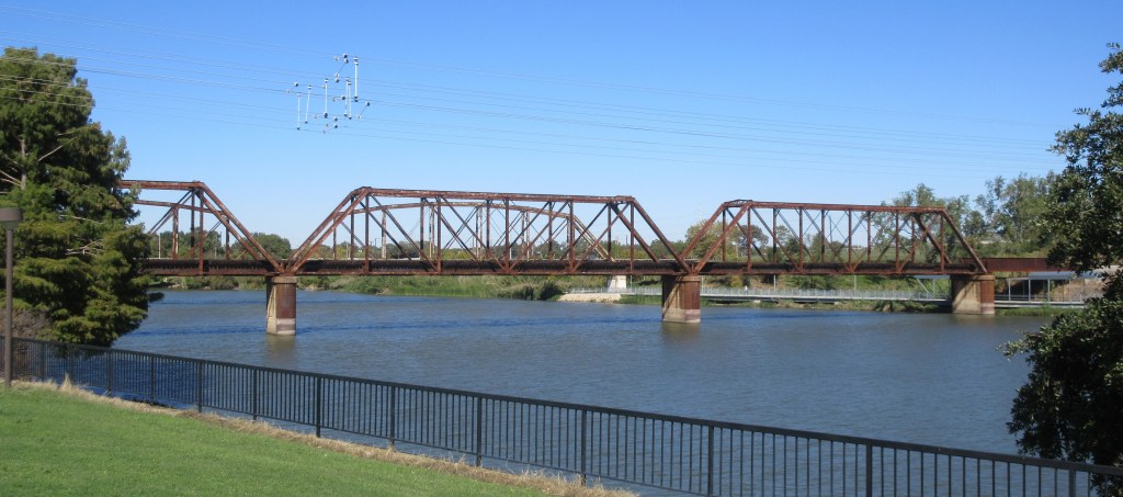
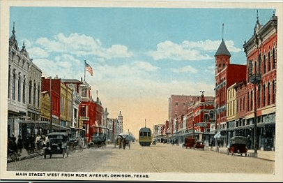
“Waco’s Historic Suspension Bridge was the longest single-span suspension bridge west of the Mississippi when it was completed in 1870. The bridge was built with cable supplied by the John Roebling Co., who built the Brooklyn Bridge in New York City. Crucial to traders and travelers for well over a century, the bridge stands as an icon of Waco history….”8
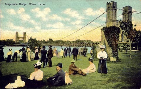
A postcard of the Suspension Bridge in Waco, Texas, dated 1912 (Courtesy of TXGenWeb Project)10
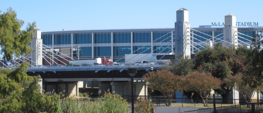
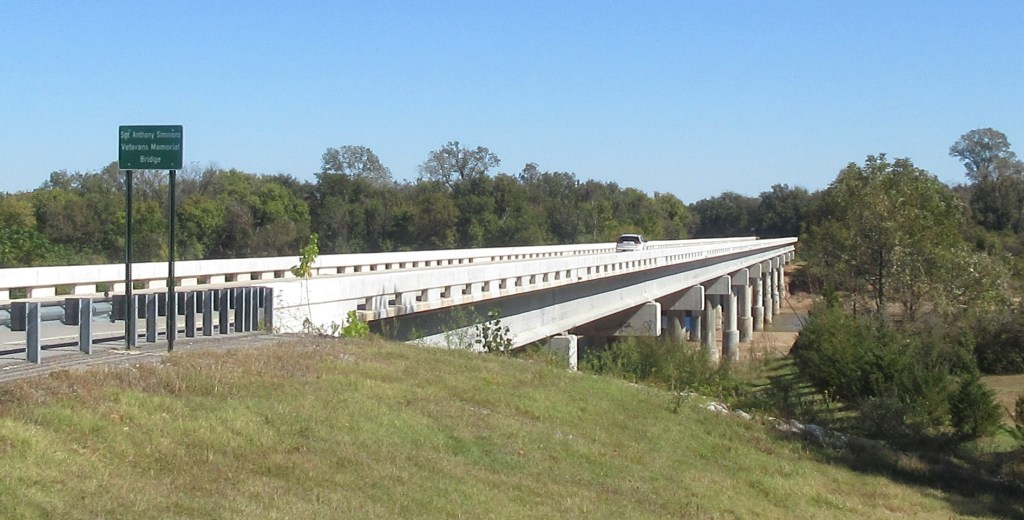
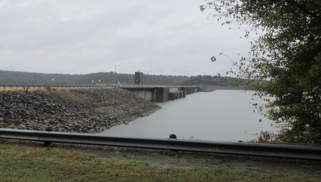
Waco is a city with modern freeways, and we found a lot of road construction going on. My mother and I tried to follow Business U. S. Highway 77 into Waco, but we soon had difficulty identifying the route and we ended up passing the street that we wanted to take. Eventually we found ourselves on a bridge crossing the Brazos River. Due to lanes merging and stopped traffic, it took about 15 minutes to cross the bridge. We had wanted to go to a park along the river before crossing the bridge. At the park we would have been able to see the Suspension Bridge. While we were sitting on the bridge in traffic, we saw another bridge to the west and I thought it was the Suspension Bridge, so when we finally got over the bridge, we headed for a park on that side of the river to take pictures. It wasn’t until we got to the motel that I realized that the bridge I took a picture of wasn’t the Suspension Bridge after all.
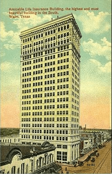
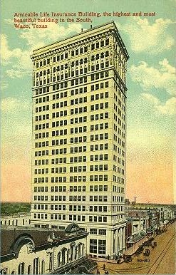
A postcard of the Amicable Life Insurance Building dated 1913 (Courtesy of TXGenWeb Project)12
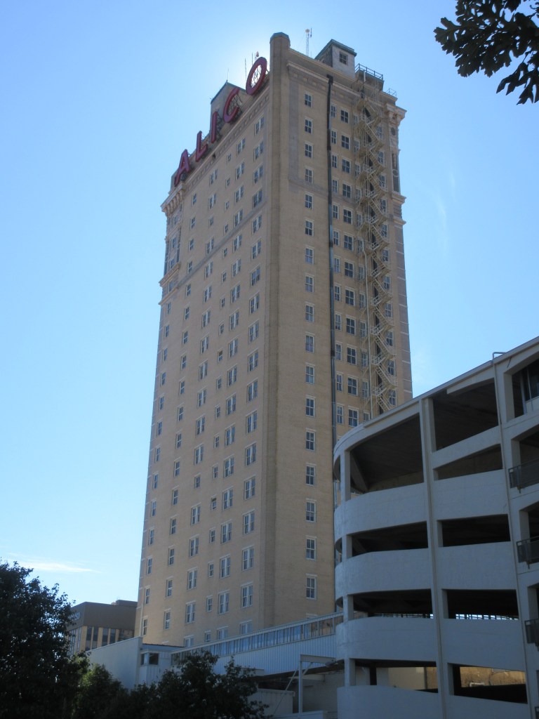
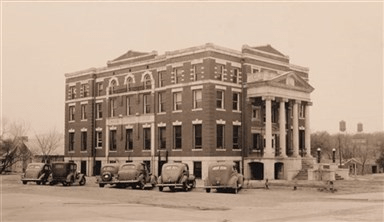
In 1919, as the caravan drove through the city of Waco, an impressive sight would have been noticeable from a great distance. The ALICO Building which was constructed from August 1910 to October 1911 claimed to be “the highest and most beautiful building in the south”; having twenty-two stories, the building was once the tallest in Texas and the tallest west of the Mississippi.13
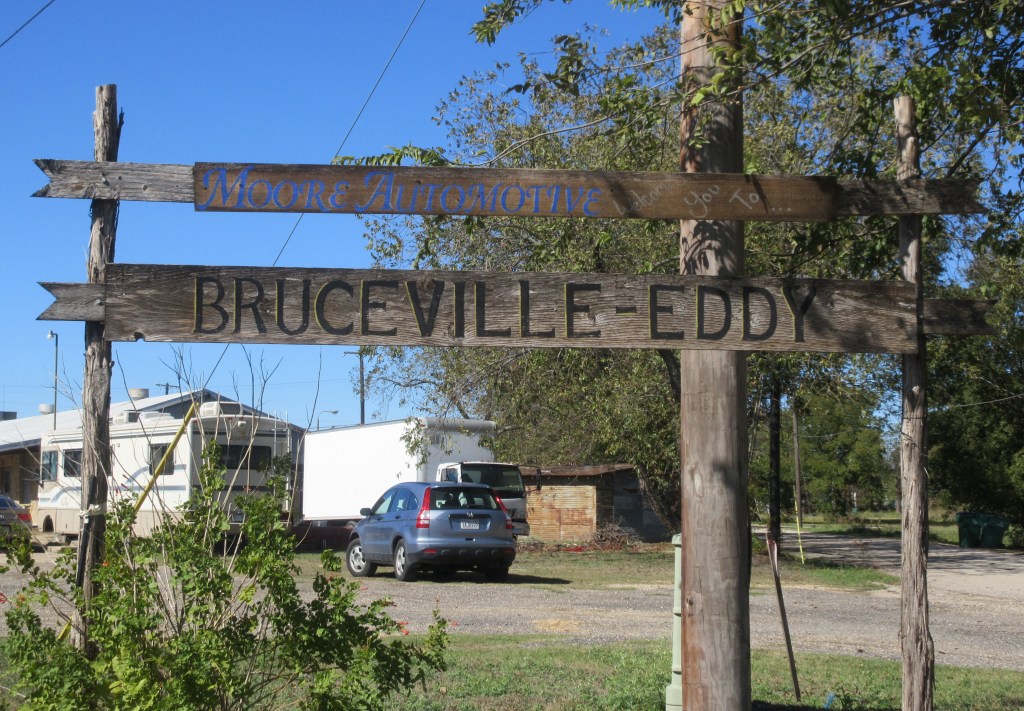
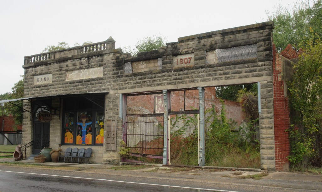
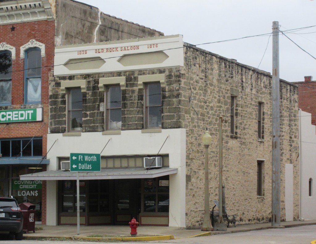
We were happy to leave the traffic of Waco and head south again on the frontage road of Interstate Highway 35 to stop at each of the towns that Lena mentioned in her travel log: Lorena, Bruceville, Eddy and Troy. Bruceville and Eddy became one community in the mid-1970s and is now called Bruceville-Eddy.
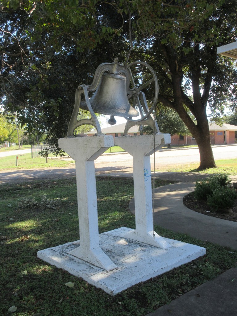
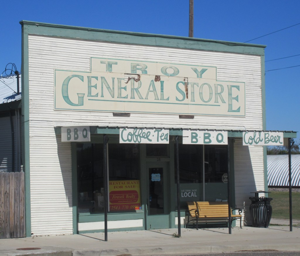
The Bevers family ended their day in Troy. When we were in Troy, there was no motel, so we decided to drive further south on Interstate Highway 35 to Temple and stay in a motel there, arriving about 3:15 PM.
Notes:
- B. Winkelmann, Our Trip to Texas [Transcription of Our Trip to Texas by Florence Bevers, 1919] (unpublished, n. d.): 4.
- “Robert Mc Elhany Family,” In The First 100 Years in Codington County, South Dakota, 1879-1979, by Codington County History Book Committee (Watertown, South Dakota: Watertown Public Opinion Print, 1979): 261.
- D. L. Bevers, Herbert and Lena Bevers trip to Raymondville Texas [Transcription of Our Trip to Texas by Lena Bevers, 1919] (Unpublished, n.d.): 4.
- David Moore, et al., The Meridian Highway in Texas (Austin, Texas: Texas Historical Commission, May 27, 2016): 1.
- David Moore, et al., The Meridian Highway in Texas: 4.
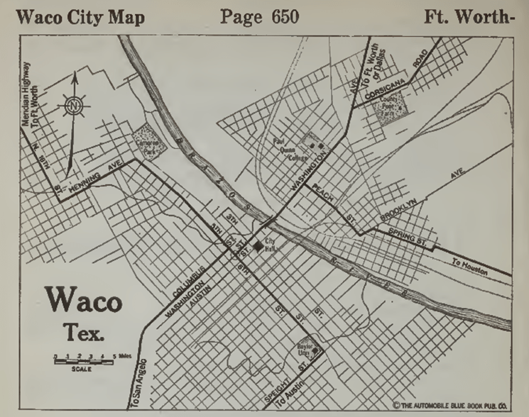
- Automobile Blue Book Publishing Company, The Official Automobile Blue Book 1920, vol. 7 (New York: Automobile Blue Book Publishing Company, 1920): 649, 651, https://ia601208.us.archive.org/26/items/case_gv1024_a92_1920_v_7/case_gv1024_a92_1920_v_7.pdf.
- David Moore, et al., The Meridian Highway in Texas: 182.
- Texas Historical Commission, Waco: Waco Suspension Bridge, https://texasbrazostrail.com/plan-your-adventure/historic-sites-and-cities/sites/waco-suspension-bridge.
- Automobile Blue Book Publishing Company, The Official Automobile Blue Book 1920, vol. 7: 650.
- Suspension Bridge, Waco, Texas (1912), http://sites.rootsweb.com/~txpstcrd/Towns/Waco/WacoSuspensionBridge1912.jpg.
- Automobile Blue Book Publishing Company, The Official Automobile Blue Book 1920, vol. 7: 651.
- Amicable Life Insurance Building (1913), http://sites.rootsweb.com/~txpstcrd/Towns/Waco/WacoAmicableLifeInsBldg1913.jpg.
- John Troesser, Ten things you should know about the Alico Building of Waco, http://www.texasescapes.com/CentralTexasTownsNorth/WacoTexas/ALICO-Building-Texas-Skyscraper-Construction.htm.


